Waterfront
Waterfront & boating.
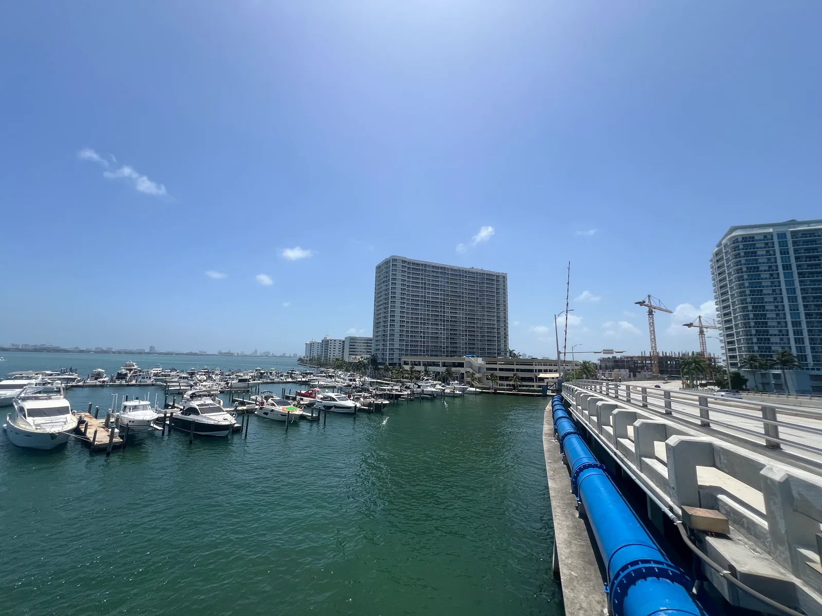
Tide predictions, marina contacts and cruise guides near North Bay Village. Check departure locations and ask operators about current availability.
Keep reading ↓BEFORE YOU HEAD OUT
Weather & tides
North Bay Village forecast. Nearby tide predictions.
Local time
Predicted tides
Biscayne Creek, Intracoastal Waterway · NOAA 8723089
Automatic predictions loading.
Source timestamps appear when data loads.
Sources, timing & local limits
NWS means National Weather Service. This is an hourly forecast for North Bay Village, not a live observation. Times use Eastern Time: EDT in summer, EST in winter. The two-hour rain outlook shows the highest hourly probability in that window, not a combined probability or how long rain will last.
Tides: NOAA predictions for Biscayne Creek, Intracoastal Waterway, station 8723089. This is a nearby reference, not a live water-level gauge at an NBV marina. Astronomical tide predictions do not establish storm surge, tidal currents, boat clearance or safe boating conditions.
Alerts cover NWS point queries on the three islands and the wider Biscayne Bay marine zone, AMZ630. The affected area is shown with each alert. Updates are checked approximately every minute while this page is visible. If a source cannot refresh, its status is shown.
A shady seat by the water.
Our September walk led to Stormwater Park, a broad tree and a bench with a view.
See Stormwater ParkA place for your boat.
Compare an on-island yacht club with a nearby county marina, and find the right person to ask about a slip.
Boat slips and marinasSunset and wildlife cruises.
Meet the Pelican Island Skipper and find guided sunset and wildlife cruises near North Bay Village. Our guide explains where to board and what to check before booking.
Sunset and wildlife cruisesAlong the docks on Treasure Island
Palms shade the walkway. Sailboats and motorboats sit side by side. These photographs from August 15, 2026 bring the marina into view at walking pace.
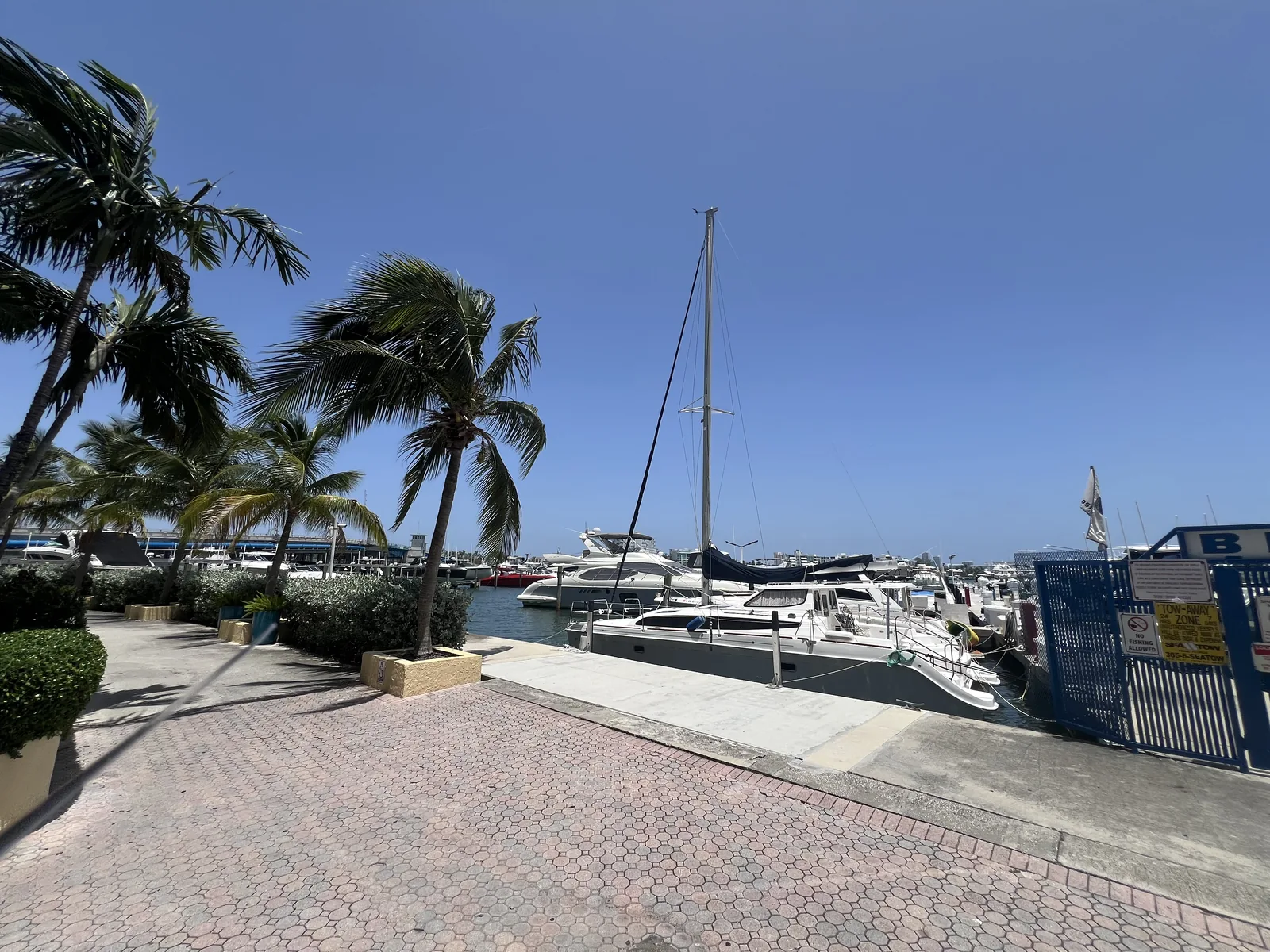
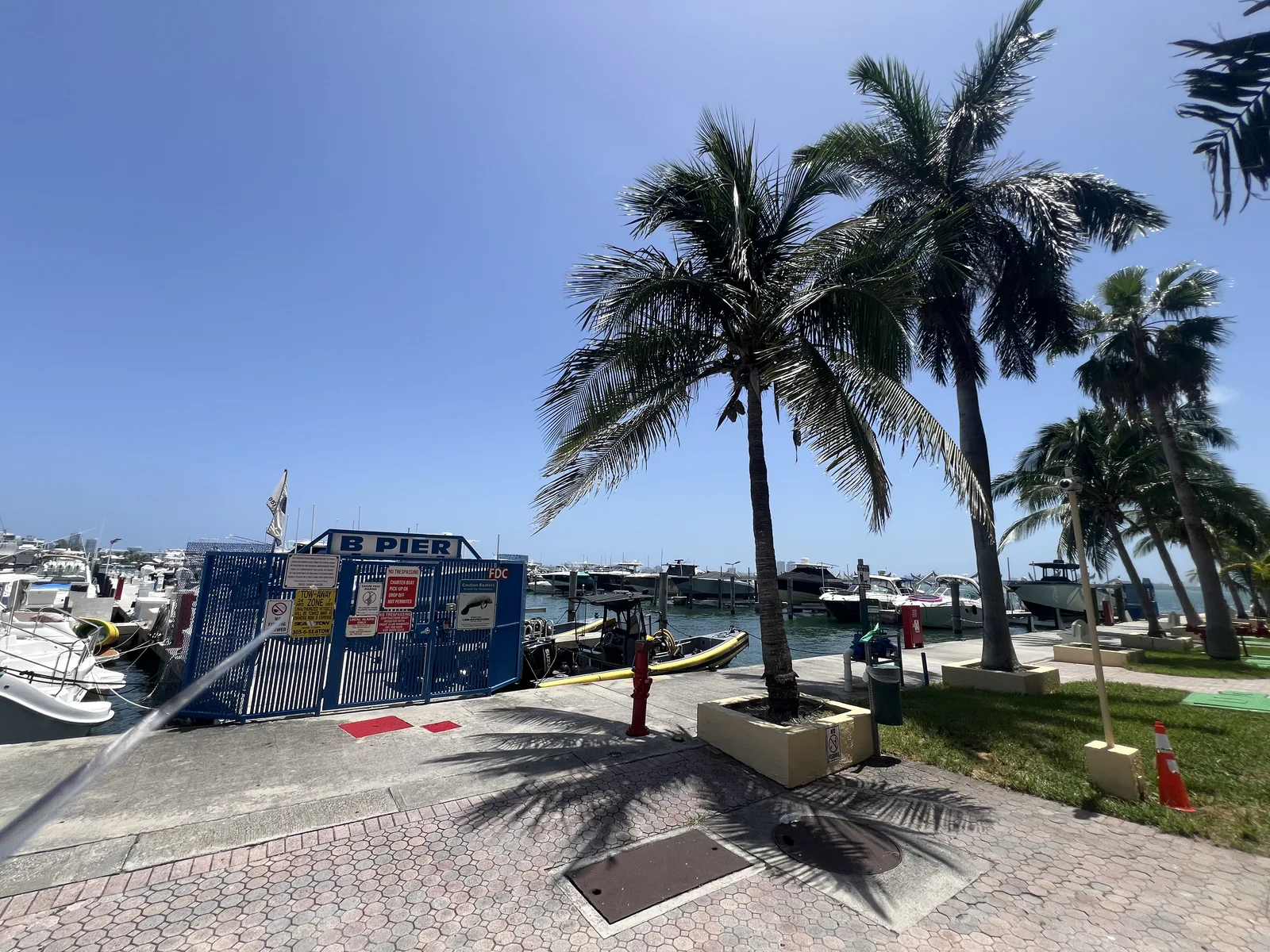
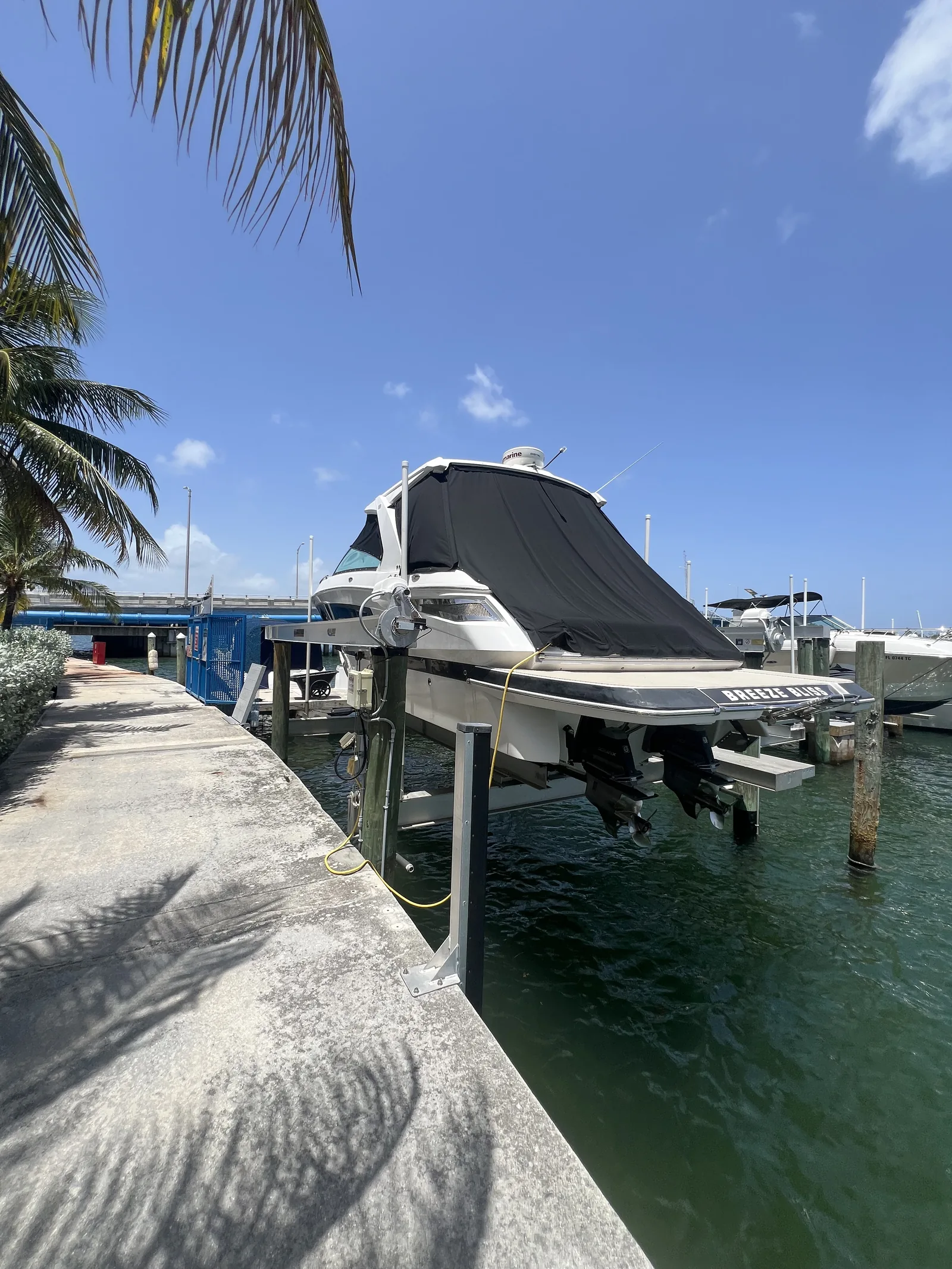
The gates and signs are part of the picture, too. Ask marina management about dock access, boat-lift use and current slip options; these photographs do not establish public access or availability.
Water is the backdrop here. Getting to know it means asking more specific questions: which routes are public, where a marina begins, and what changes along the shoreline.
Begin with the view we can document.
Our first waterfront photographs were taken on August 15, 2026. They show the bay, boats and marina edges. They do not establish public access, berth availability, safe boating conditions or permission to enter private property.
The questions we’re following.
- Where can a neighbor legally walk beside the water?
- What is changing as waterfront projects develop?
- Which local people can help explain the bay’s daily rhythms?
Have a public source or a place we should visit? Help us make the next record more useful.
Send a question to @nbvlocal